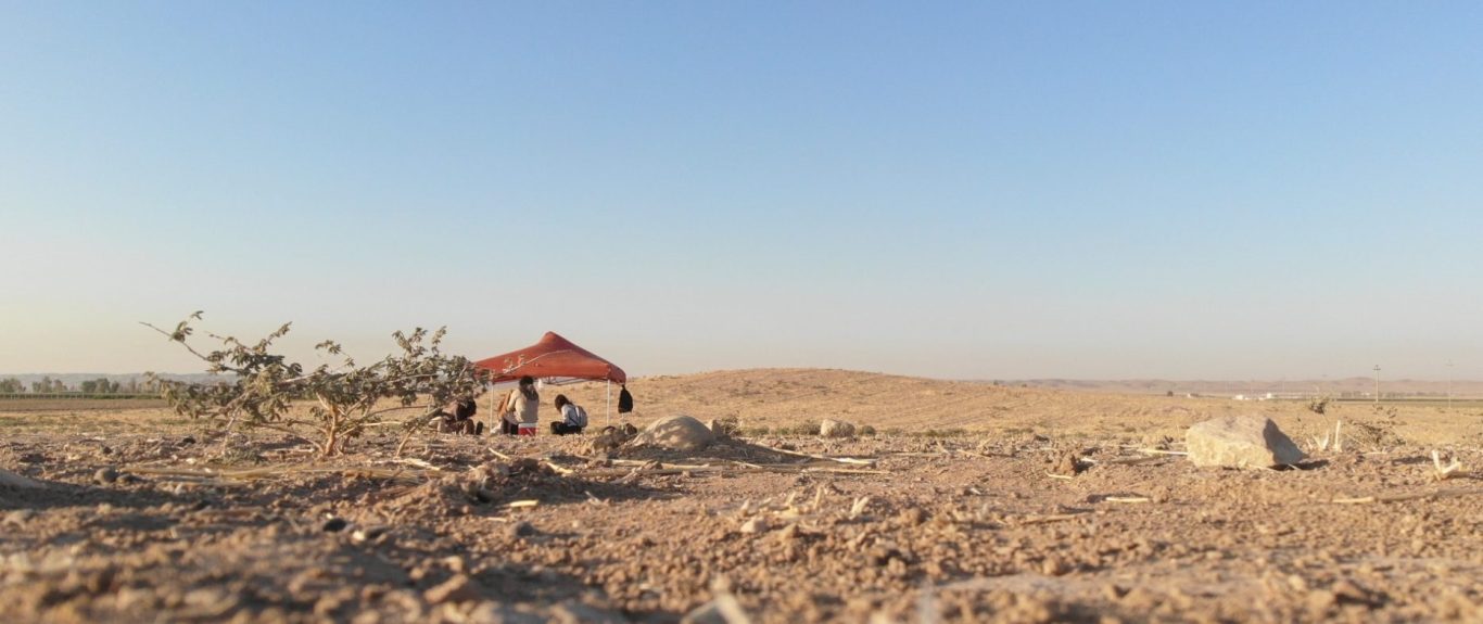
Girdi Matrab is a multi-mounded site located circa 1.8 kms South-East of the village of Baqrta in the nahyia (district) of Shemamok, circa 30 kms South of the Kurdistan Region capital of Erbil. The site was first identified by the Erbil Plain Archaeological Survey team in 2012 and then labeled as Site 6 on their gazetteer. In 2019 Mr. Mohammed Lashkri from the General Directorate of the Antiquities of the KRG identified the site on a 1946 cadastral map, where it was listed as Girdi Matrab.
The site shows a unique topography as it is composed of 5 low mounds orbiting around a major central one (Mound 1). The morphological aspect is possibly due to the presence of a wadi (seasonal stream) to the East of Mound 2 whose course might have shifted from the West through time. EPAS team first visited the site in 2012 identifying 6 collection units, each one corresponding to the visible mounds. The analysis of the surface artefacts produced a quite reliable settlement history. Girdi Matrab started to be occupied in the Late Chalcolithic period and the site survived into the Northern Uruk phase. At the end of the 4th millennium BCE the site was probably abandoned and never re-occupied until the late Iron Age, although the surface evidence yielded signs of a scattered occupation. Starting from the second half of the 1st millennium BCE the site seems to have been intensively settled, covering during the Hellenistic period (late 4th - late 2nd c. BCE) an area of approximately 20 hectares. Growth and expansion continued into the Parthian period (late 2nd c. BCE - early 3rd c. CE). Girdi Matrab was then abandoned sometime at the beginning of the 1st millennium CE and never re-occupied again.
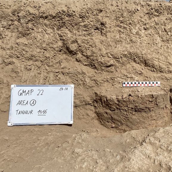
Excavation Data
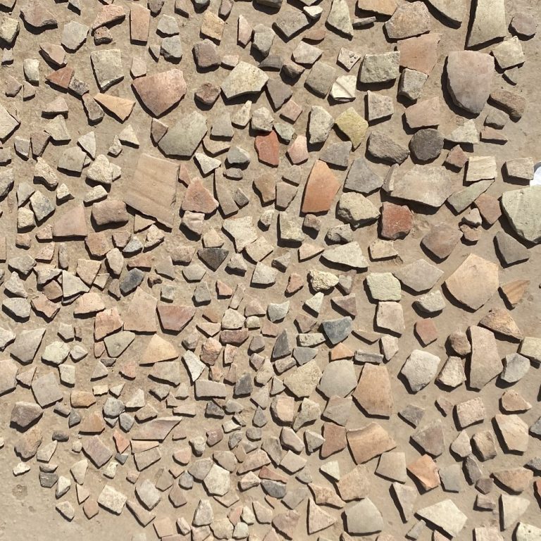
Material Culture
© Copyright. All rights reserved